Vulnerability Assessment of the Coastal Zone of Sri Lanka to Sea-Level Rise Scenario: a GIS Based Study
##plugins.themes.academic_pro.article.main##
Abstract
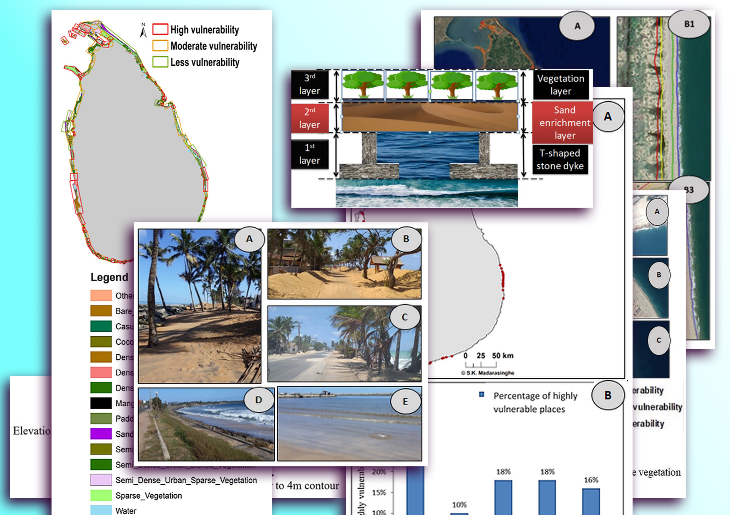
Coastal areas are facing the consequences of climate change related disasters at both country and global level. Sea-level rise (SLR) is identified as a major consequence of climate change and the level of vulnerability of Sri Lanka to SLR has not been studied to a greater extent. This study therefore aimed to identify and assess the current (2020) coastal vulnerability of Sri Lanka to SLR scenario. Highly vulnerable coastal areas along the Sri Lankan coastal zone for SLR were identified using Google earth pro and ArcMap 10.3 software, taking coastal geomorphological slope and prevailing coastal ecosystems into consideration. Coastal areas with less slope and less barrier-effective coastal ecosystems were identified as highly vulnerable areas. The results revealed that 81% of the Sri Lankan coast is vulnerable as of 2020 to SLR when only the coastal geomorphological slope is considered. Although the barrier effect of coastal ecosystems has considerably reduced the coastal vulnerability, 34% of the Sri Lankan coast still remains highly vulnerable to SLR. The results further exposed that most of the Sri Lankan beaches, some lagoons, estuaries, coastal cities and industrial regions are highly vulnerable for the SLR scenario. Therefore, restoration and conservation of mangroves and sand dunes which serve as effective barriers against SLR in suitable areas of the coastal zone and establishing hard structural barriers are important to minimize the risk.

